Rockfall Bund - Site 7
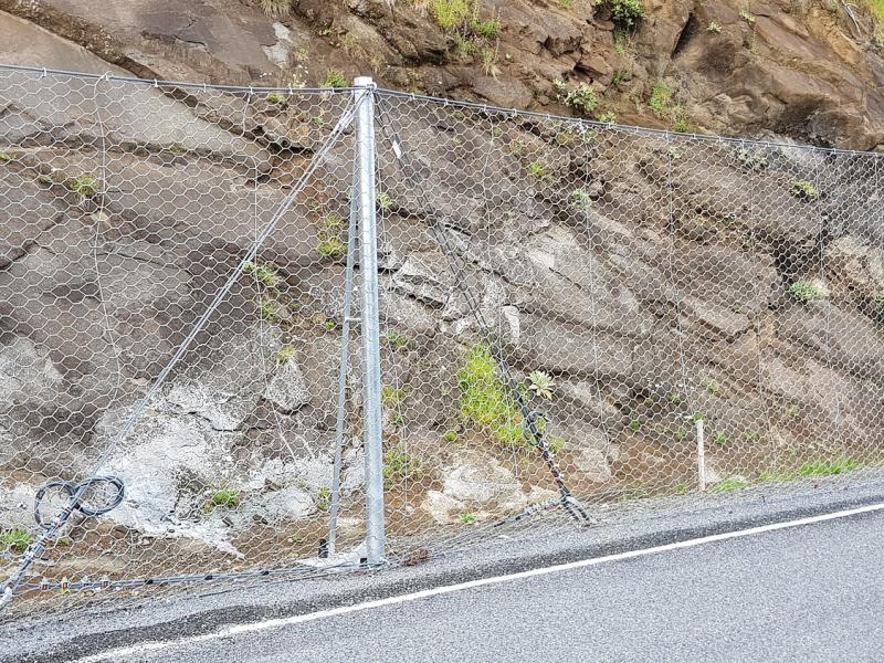
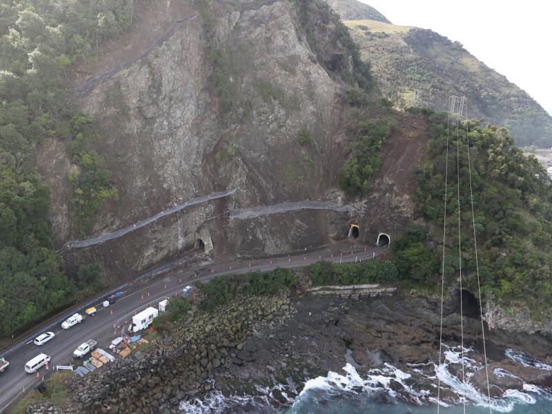
Not long after the earthquake, the NZ Transport Agency and KiwiRail set up the North Canterbury Transport Infrastructure Recovery (NCTIR) alliance with four major contractors. NCTIR is tasked with restoration of the transport infrastructure networks within a given time frame to leave it safer and more resilient than it was before the earthquake. Various solutions and rockfall protection structures of different energy capacities were considered along the coastal road, depending on the site’s condition. These include Green Terramesh bunds, high energy rockfall barriers and hybrid barriers.
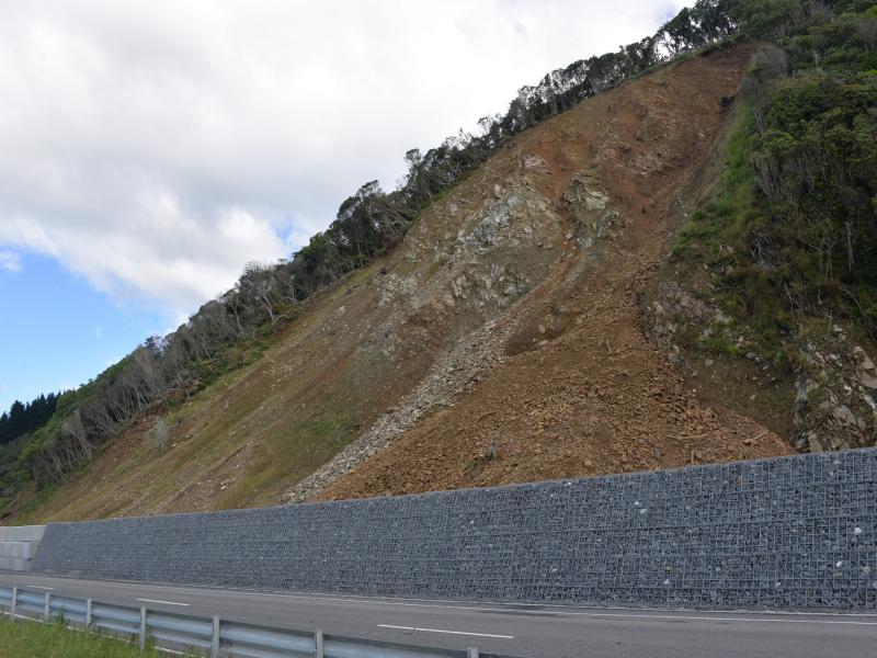
At site 7, about 22 km north of the Kaikoura township, there was a significant rockfall event during the earthquake. The NCTIR designers decided a rockfall embankment (bund) was the preferred solution. This structure has the capability to absorb multiple rock fall events up to a high energy level. The use of Green Terramesh allows the embankment slopes to be steepened and the footprint reduced to form a stable and robust bund with high energy absorption characteristics.
The structure is typically filled with compacted granular material or engineered soil fill with a horizontal soil reinforcement. The front face can either be vegetated or finished with a rock veneer.
Actual rock impacts in excess of 4,000 kJ into Green Terramesh rockfall embankments have been tested, back analysed and the design methodology verified using numerical modelling (FEM) techniques. This research completed in Northern Italy has resulted in the development of the simplified design charts to provide designers with a simplified design method based on rock penetration depth.
Geofabrics assisted the designers with this information and also looked at other aspects of rockfall embankment design like:
• The projection of fragments over the embankment after impact;
• The over topping of the upper proportion of the embankment by blocks;
• Penetration depth estimation and determination of serviceability and ultimate limit state;
• The internal stability of the embankment;
• Development of instability within the soil foundation as a result of the dynamic forces such as an earthquake.
The final bund design was 488 m long in two parts including a 10 m gap to allow access for clearing debris. The southern section is 185 m with an exposed height of 5.4 m above the existing ground level, while the northern section is 293 m long and stands 3.6 m high, both bunds have a minimum crest width of 1.5 m.
DOWNLOAD THE CASE STUDY


